-40%
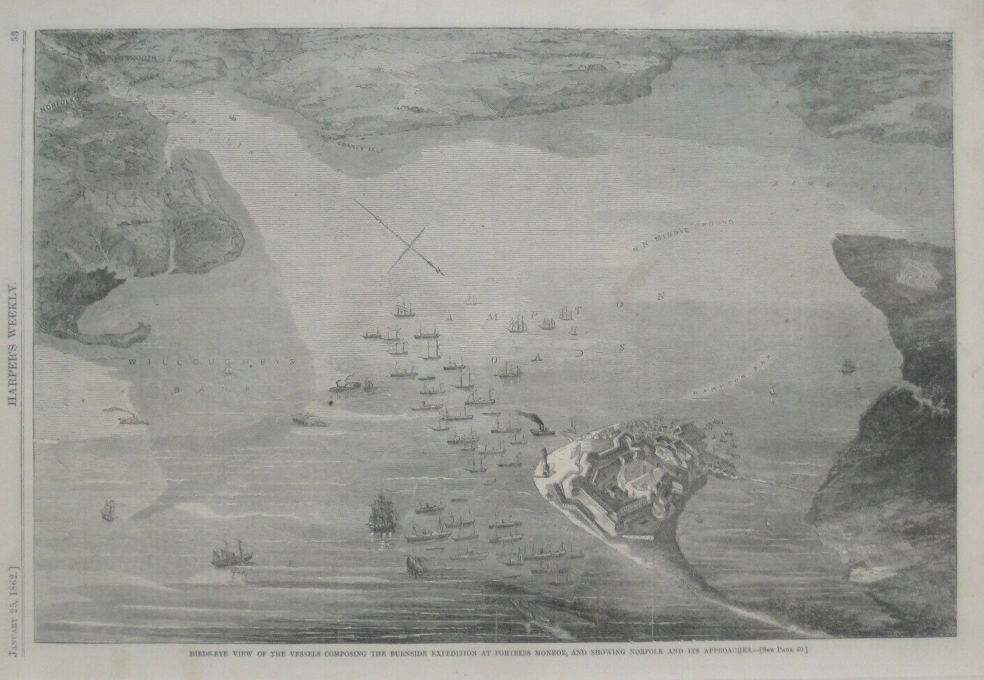
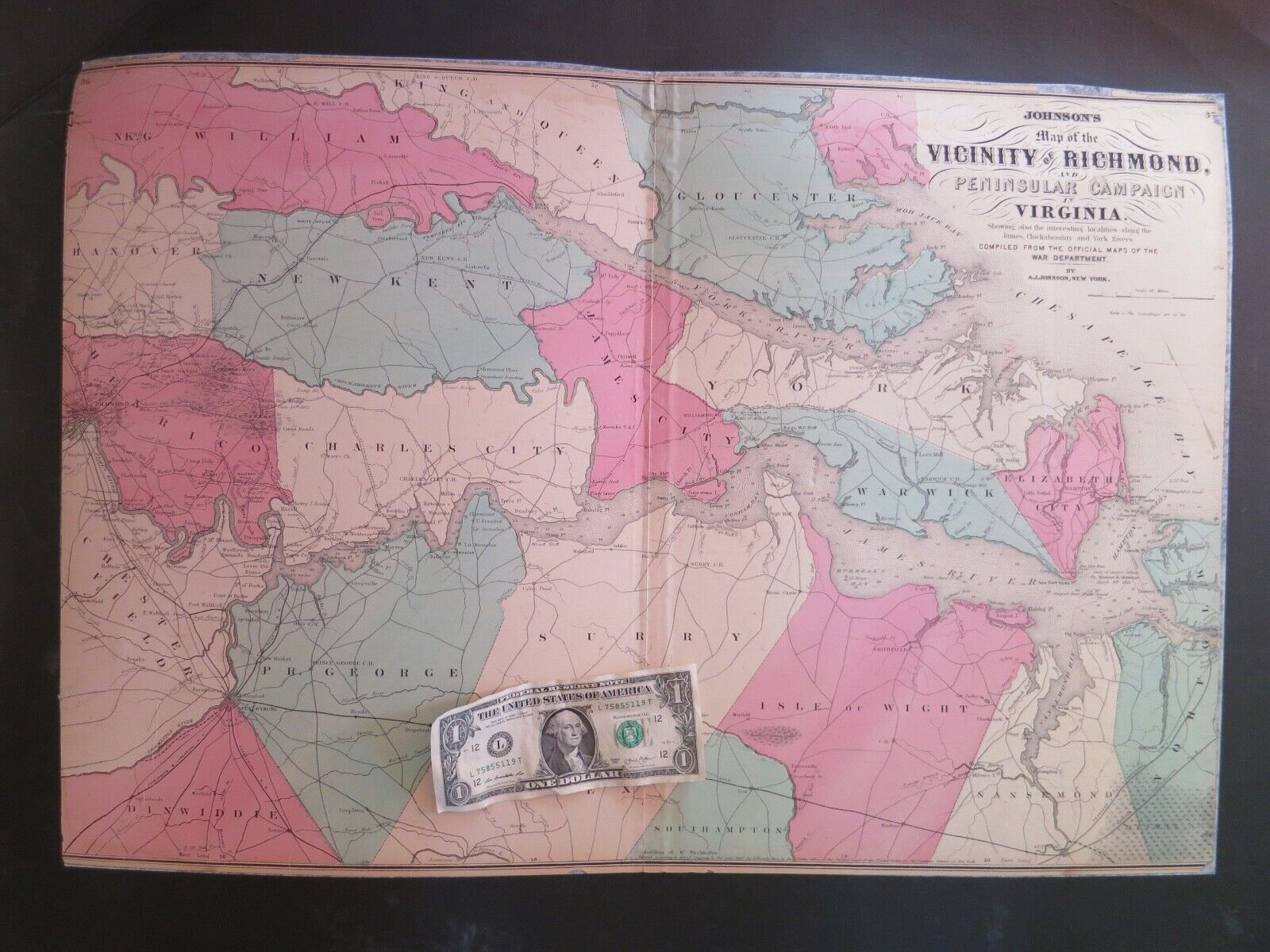
Original 1862 Bird's-Eye-View Map FORT MONROE Norfolk Harbor Virginia Civil War
$ 15.83
- Description
- Size Guide
Description
Original woodblock engraved Civil War bird's-eye-view map, published inHarper's Weekly,
January 25, 1862.
The image area measures 23 x 35 cm [9¼" x 13¾"], and the engraving is titled "Bird's-Eye View of the Vessels Composing the Burnside Expedition at Fortress Monroe, and Showing Norfolk and Its Approaches."
On the reverse side there is a map showing Pamlico and Albemarle Sounds, and the Approaches to Norfolk from the South.
Condition:
This original full page from
Harper's Weekly
is in
excellent condition,
bright and clean, with
no
marks, rips, or tears. Please see the scans and feel free to ask any questions.
It is an
original
, authentic antique print,
not
a reproduction or modern reprint, and it is fully guaranteed to be genuine.
Buy with confidence! We are always happy to combine shipping on the purchase of multiple items — just make sure to pay for everything at one time, not individually.
Powered by SixBit's eCommerce Solution
